04.07.11
Next Severe Storms Risk This Weekend
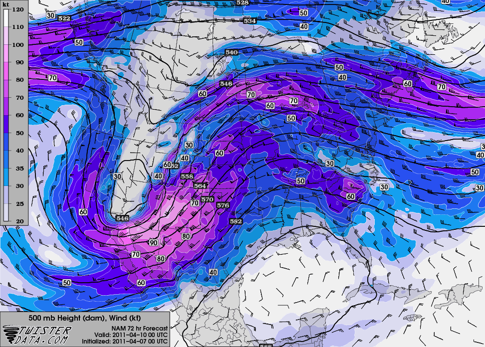
Here’s the next big trough that the NAM model shows for us, valid at 00Z Sunday (Saturday evening):
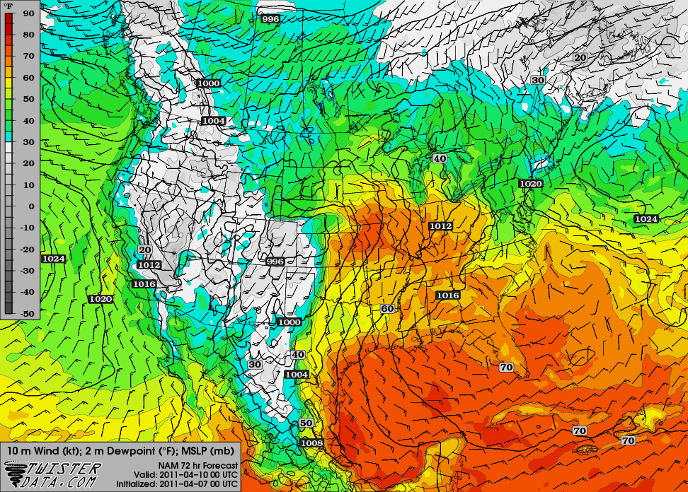
The model output for the dewpoint shows a dryline in far western Oklahoma (the GFS shows a bit higher dewpoints, a slightly tighter dryline, and a more well-defined surface low):
Temperatures are going to be a little high, though, and there may not be enough forcing in time to get storms firing along the dryline.
There may be a supercell or two that forms up closer to the dryline / warm front intersection, but so far this setup isn’t anything for me to get excited about.
The bigger severe weather day may be Sunday, but I haven’t looked at that one as much as it will be beyond my chase territory (into the Mississippi River Valley area).

