07.24.10
Posted in Photography at 5:21 pm by Rebekah
As expected, Bonnie has not survived her trip across the Gulf, thus she is not even a tropical depression anymore.
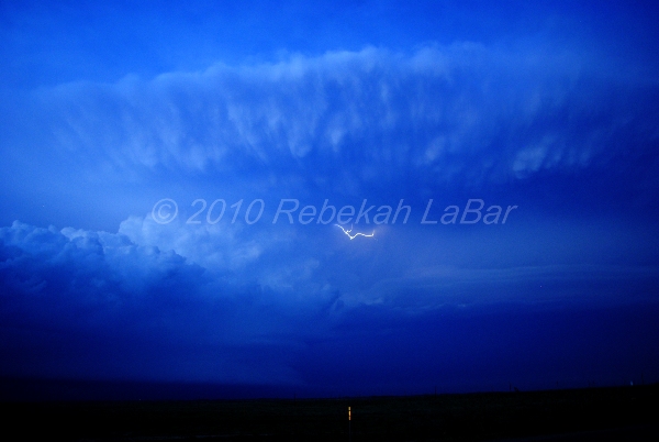
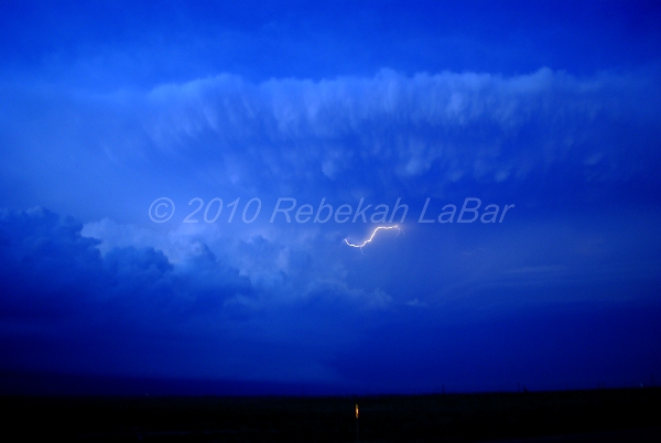
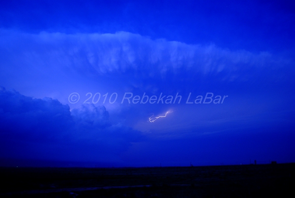
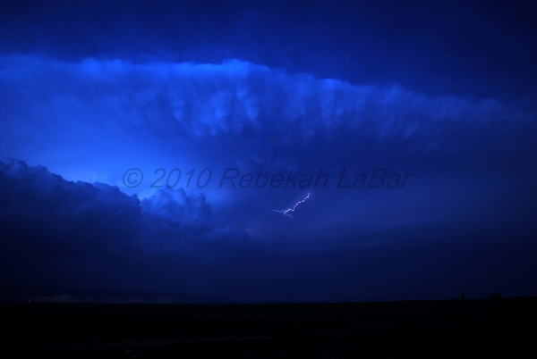
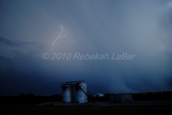
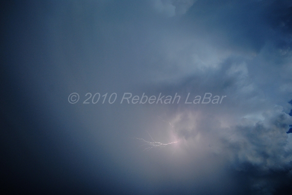
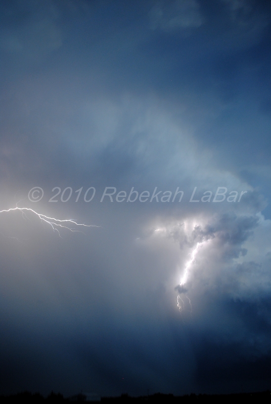
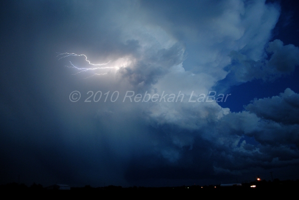
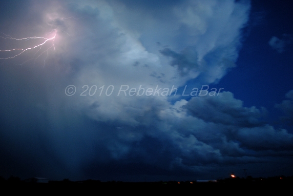
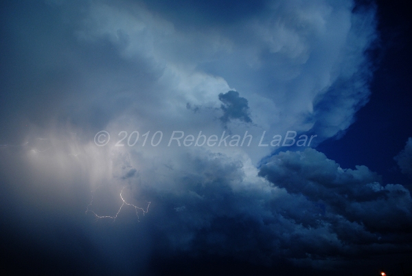
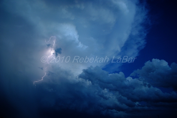
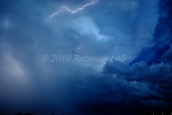
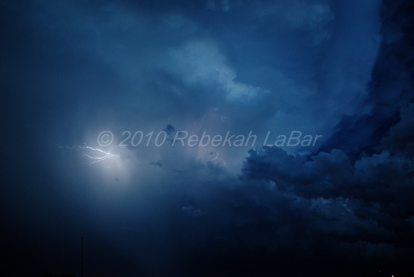
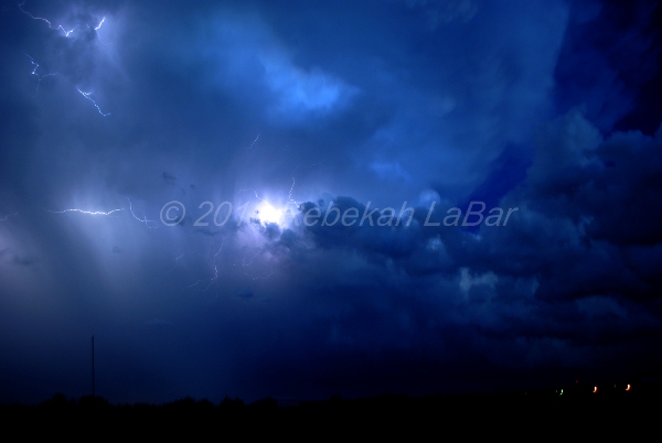
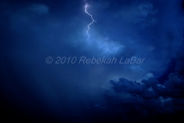
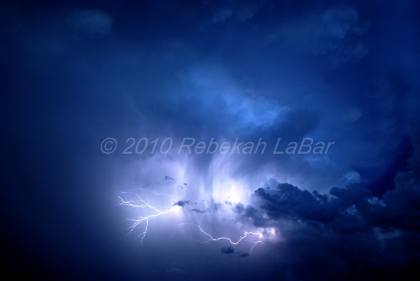
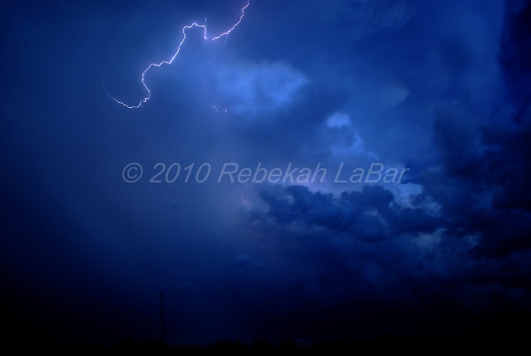
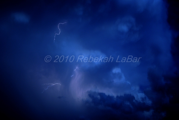
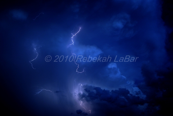
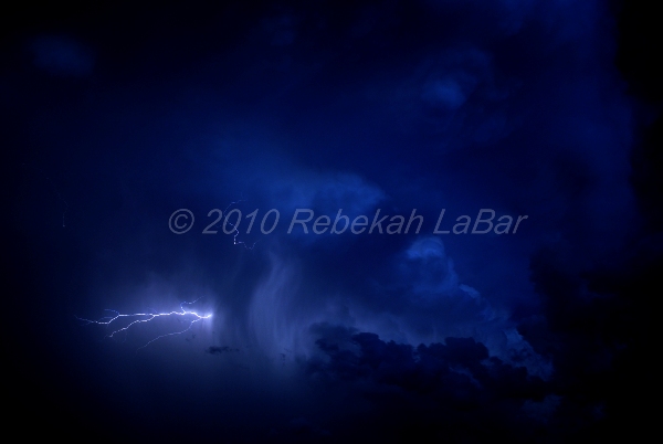
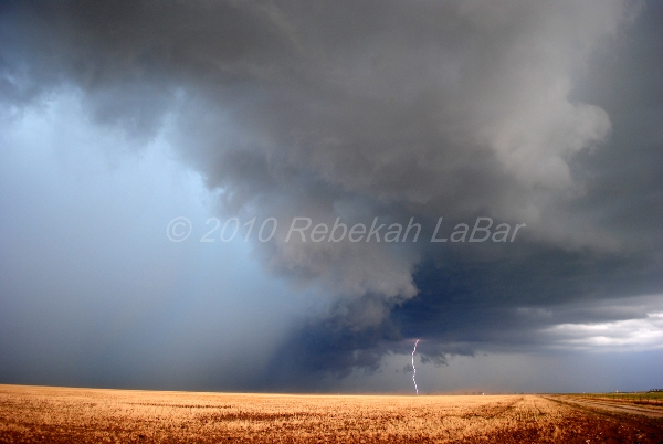
But instead of writing about the weather today, I thought I’d share some of my first attempts at lightning photography. With the exception of a few video stills, I did not have a lightning photo before this year. (I did take some photos of the Lone Grove supercell lightning on 10 February 2009, but those were with my film SLR that I rarely use anymore, so I have not finished off the roll and got the photos developed yet…hopefully I will soon, and then I’ll scan and post those later if any of them turned out…)
I took the following photos with a Nikon D3000, without a tripod (thus why some are a little blurry), on mostly automatic settings. I still have a lot to learn about lightning photography, and I look forward to getting to know my new camera better (and using my tripod!) so I can take better photos in the future.
The first four photos are from May 18th, in the Texas Panhandle. The last photo was from June 13th, also in the Texas Panhandle. All of the other photos are from May 19th, in south central Oklahoma.
(By the way, I finished going through May 19th photos, so I should have those posted along with the chase log sometime late tomorrow or Monday.)


Permalink
07.23.10
Posted in Tropical Weather, Weather News at 6:59 pm by Rebekah

Tropical Storm Bonnie formed just southeast of Florida last night, and made landfall over southern Florida this morning.
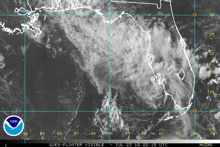
The above visible satellite image, from the National Hurricane Center (NHC), shows the remains of Bonnie entering the Gulf of Mexico this evening.
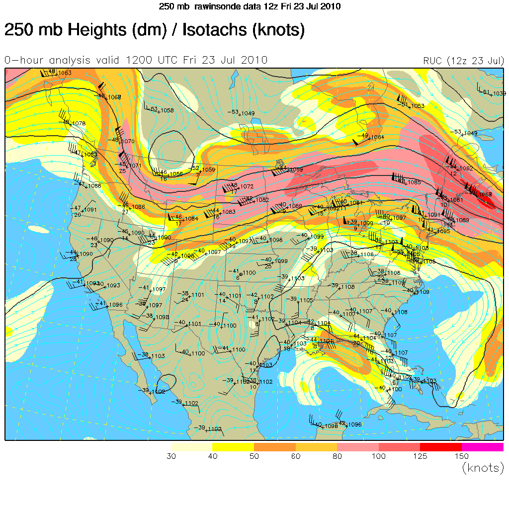
Although the NHC initially forecast Bonnie to strengthen to a tropical storm again before making landfall in Louisiana, an upper-level high over the southeastern U.S. and an upper-level low over the Gulf of Mexico are working to steer the tropical depression towards an area of wind shear, which will prevent Bonnie from strengthening.
The 250mb map below (click to enlarge), from the UCAR RAP, indicates the upper-level high by the blue, clockwise streamlines and the upper-level low by the blue, counter-clockwise streamlines. The orange and yellow highlighted area over the northeastern Gulf of Mexico represents an upper-level jet streak (enhancing the wind shear across Bonnie’s track), with winds going from southeast to northwest.

Permalink
07.12.10
Posted in Uncategorized at 4:01 pm by Rebekah
Chasing today with Dean and Jeff again; we’re just west of Hays, Kansas, heading westward towards a lone cell south of Goodland. Hoping with some decent shear that it will turn into a supercell and we’ll perhaps get at least some large hail and nice lightning…
Chased yesterday in north central Oklahoma to just northwest of Oklahoma City; saw some very close lightning and torrential rain.
The day before yesterday we also chased in northwest Kansas and saw 1.5-inch hail and some incredible lightning.
Tomorrow we’ll also be chasing somewhere perhaps in north central to northeast Nebraska. For never having chased in July, we’ve been seeing some nice storms and still have (hopefully) even better storms to come, today and tomorrow.
Permalink
07.10.10
Posted in Uncategorized at 7:57 am by Rebekah
Off on my first July storm chase…initial target, Colby, Kansas!
Just hoping for a decent thunderstorm…hopefully a supercell!
You can track me on Spotter Network or on my tracking page on my website.
Permalink
07.08.10
Posted in Tropical Weather, Weather News at 1:01 pm by Rebekah
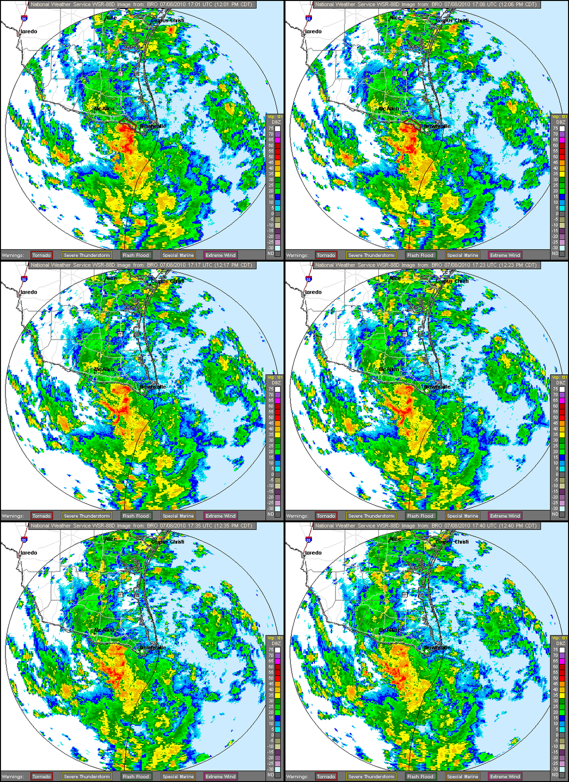
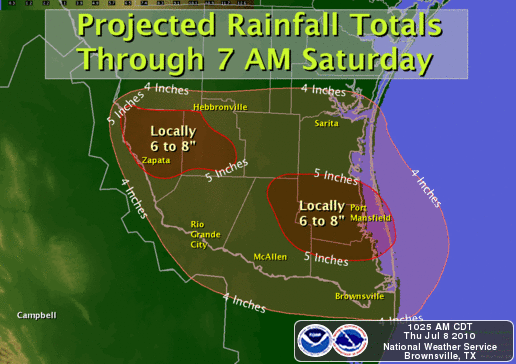
Late last night a new tropical depression formed off of the south Texas / northeastern Mexican coast. Tropical Depression 2 (TD2) was forecast by the National Hurricane Center to briefly become Tropical Storm Bonnie by this morning, but at 10:15 am CDT, TD2 made landfall near Brownsville, Texas.

Brownsville, Texas radar loop, from the NWS Brownsville office.
The primary threat with TD2 is heavy rainfall; this rain is coming down on areas already saturated by former Hurricane Alex last week.

Rain forecast by NWS Brownsville office.
The remnant low will likely follow a similar path to that of Alex, tracking northward up towards Oklahoma, interacting with a front and bringing more showers and thunderstorms to the Southern Plains.
Permalink
« Previous Page — « Previous entries « Previous Page · Next Page » Next entries » — Next Page »
